


Training

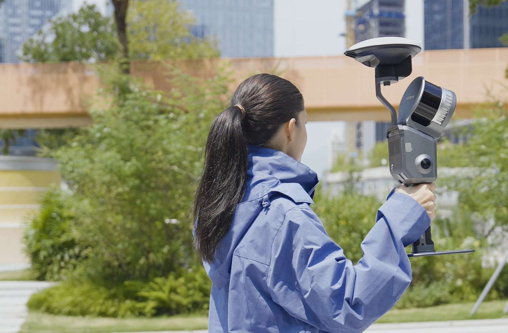
Applications in Surveying and Geospatial
Topographic Survey
Integrating LiDAR technology with visual data processing for high-precision digital terrain mapping in challenging environments.
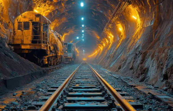
Applications in Surveying and Geospatial
Tunnels & Utility Corridors
Reconstruct complex underground structures with multi-source data fusion. Leverage comprehensive spatial intelligence of underground infrastructure, with precise dimensional data and structural conditions to support the entire asset lifecycle.
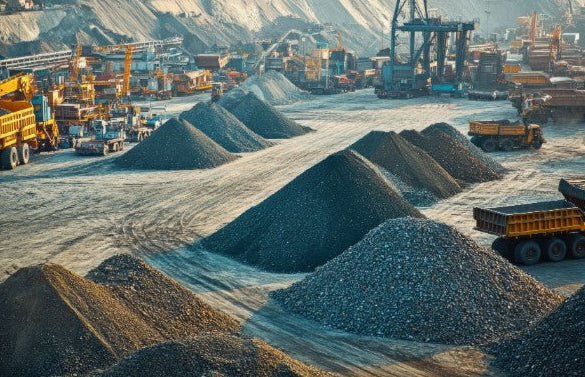
Applications in Surveying and Geospatial
Stockpile Volume Calculation
Capture precise volumetric data using LiDAR across diverse materials to support material management and cost verification throughout project cycles.

Applications in Surveying and Geospatial
Urban Underground Space Management
Map underground pipelines, fire protection systems, and critical infrastructure with high-precision 3D digital twins. Empower your urban planning with effective underground resource management.

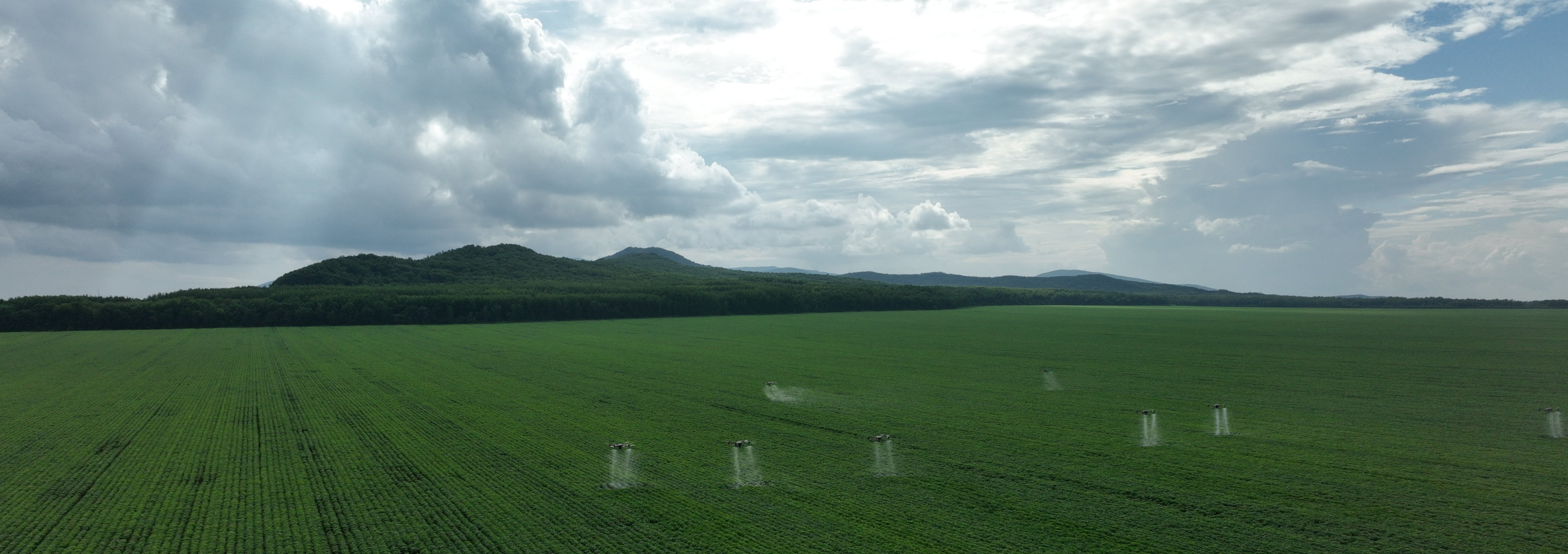
Applications in Surveying and Geospatial
Forestry Management
Capture complete forestry data efficiently with high-precision 3D digital forest models. Enhance ecological resource investigation and management.

Applications in AEC & Urban Planning
Facade Measurement
Non-contact, high-efficiency data capture precisely acquires exterior point clouds and textures, rapidly generating accurate Facade drawings.

Applications in AEC & Urban Planning
Real Estate Survey
Quickly generate integrated indoor-outdoor 3D models, creating floor plans, elevations, and cross-sections to improve measurement efficiency.
Applications in AEC & Urban Planning
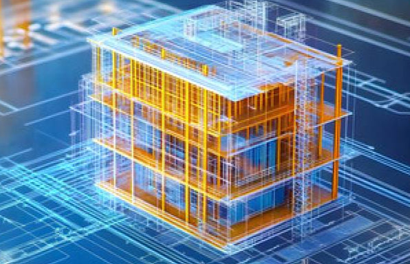
Reverse BIM Modeling
Convert existing buildings into structured BIM models with 3D Gaussian technology. Capture precise site conditions to accelerate digital transformation.
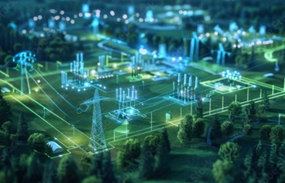
Applications in Energy & Mining
Facility Digital Twin
Create precise 3D replicas of your facilities by merging aerial and ground data. Gain actionable insights, cut costs, and make faster, better-informed decisions.
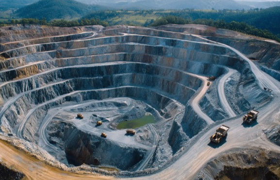
Applications in Energy & Mining
Smart Mining
Build detailed digital twins of surface and underground mines for precise measurement, simulation, and intelligent lifecycle management, improving safety and decision-making.
Applications in Energy & Mining
Water Resources Management
Transform water infrastructure monitoring with real-time 3D data capture and precise 3D models, enhancing safety and decision-making.